Otsego County Michigan
Lorem Ipsum is simply dummy text of the printing and typesetting industry. Lorem Ipsum has been the industry’s standard dummy text ever since the 1500s

Coming Soon! in the fall of 2025
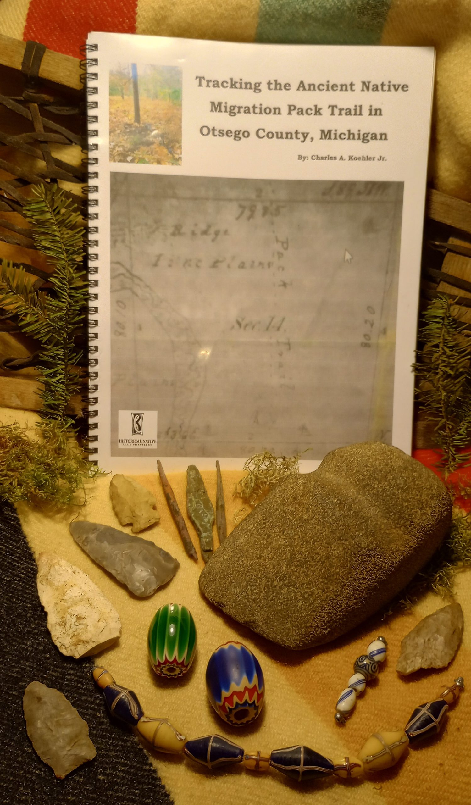
Tracking the ancient Native Migration Pack Trail in Otsego County Michigan
By Charles A. Koehler Jr.
Tracking the ancient Native Migration Pack Trail in Otsego County Michigan. Is a book about relocating an ancient Native Pack Trail in Otsego County and Cheboygan County Michigan. This is a work in progress, At this time, I have re-located almost all of the 12 miles of this trail. This trail could very well be the oldest of all the trails I have relocated. I believe it is a short legally documented remnant of one of the mother of all trails that traveled through the center of Northern Lower Michigan. I strongly believe it dates back older than 9,000 years before present times. It most likely was first made by the traveling Caribou working their way north from what is now called Gaylord Michigan, down through the channel lands, on their never-ending search for new Fresh Lichen grazing areas. As the water receded from the Glacier ice jammed channels. In my observations the trail seems to hug the high water marks or muck edges as it travels the washed out plains and possibly Around a once huge floating iceberg, that became sand bared, then covered with silt when the ice jam broke free. This silt insulation covering would have largely prolonged the melting. The trail could have survived the test of time by being high enough in elevation to see the end of Lake Algonquin, Lake Stanley and Lake Nipissing come and go to present day Lake Michigan and Lake Huron. It would not have been flooded a second time by lake Nipissing. Ancient natives would have followed these caribou trails in search of narrow trapping locations to harvest caribou for millennia’s. Making a very long story short. After the caribou herds were gone the trail would have been continually used as an already present continually lengthening Native Migration trail. This trail very well could have been used by the Paleo, Archaic, Woodland Cultures, and lastly by the Chippewa, Ottawa and Wyandot natives. Maybe even more tribes such as the Iroquois during their war raids. I will explain how I located this trail. How and why it could have been used for millennia’s. I am updating the original 1850 Survey map to a 2024 Map. I am conducting a close archaeological survey, including G.P.S. mapping. Along with all of my new and original research. Read and take a trip back in time along this lost ancient Pack Trail.
$0.00


